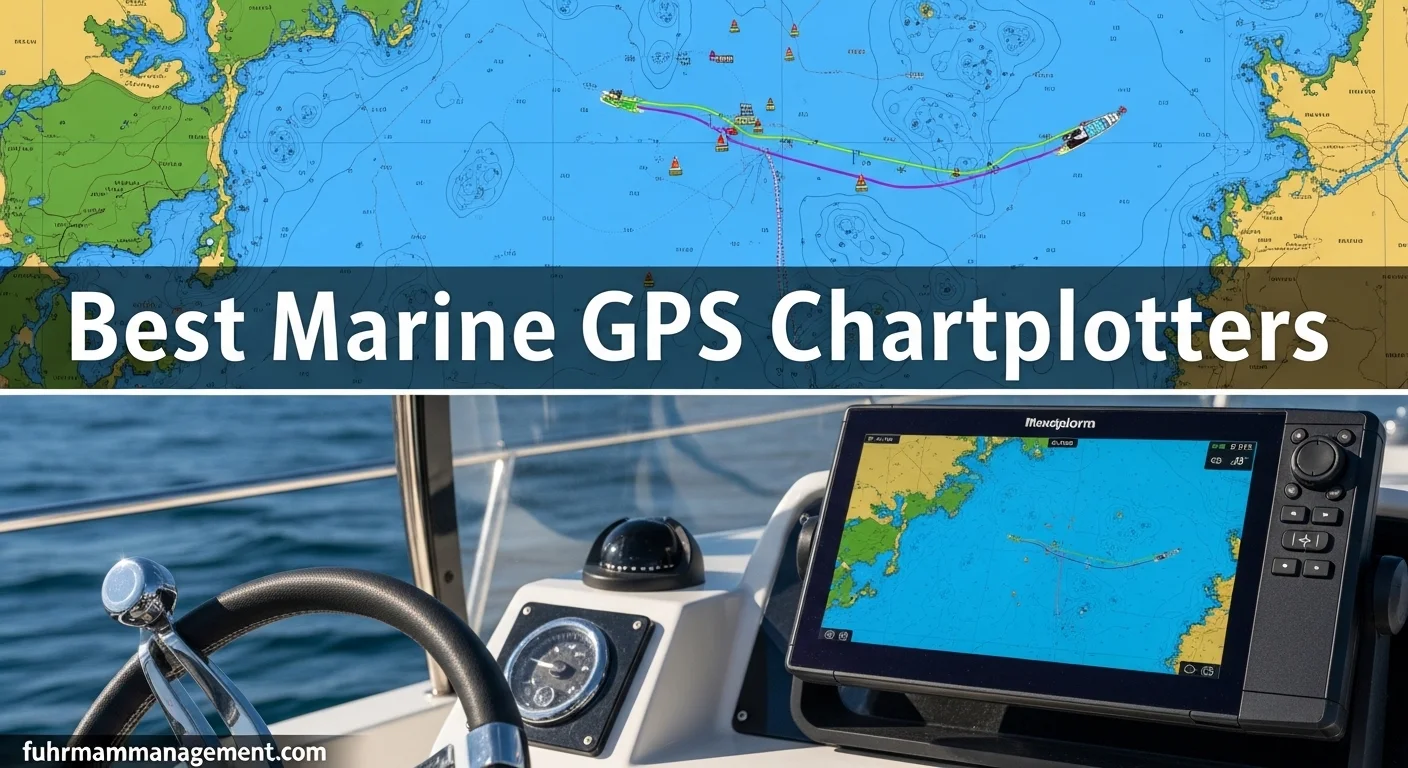
A marine GPS chartplotter is one of the most useful navigation tools aboard a coastal-cruising boat, but the best choice depends on more than screen size or brand reputation. A compact center-console boat may need a bright, waterproof display with simple waypoint management, while a larger cruiser may benefit from radar integration, depth data, engine monitoring, and networking across multiple stations. The right marine GPS should make navigation easier without becoming a distraction from what is happening on the water.
What to Look for in a Coastal Cruising Chartplotter
Start with the operating environment. Coastal cruising often involves glare, spray, changing visibility, crowded channels, shallow water, and frequent transitions between open water and unfamiliar harbors. Choose a display that remains readable in direct sunlight and can be operated with wet hands. Touchscreens are intuitive and allow quick panning and route planning, but physical buttons or a rotary control can be valuable when the boat is bouncing or conditions are poor. Some units combine both approaches, giving you fast touchscreen access with tactile controls for essential functions.
Screen size should match the helm and viewing distance rather than being selected in isolation. A seven-inch display can work well on a small boat with a single helm, especially when mounted close to the operator. Nine- to twelve-inch screens provide more room for split views, such as a chart beside radar or sonar. Larger displays improve readability at a distance, but they require more panel space, draw more power, and may be excessive if the helm is already crowded. Measure the available cutout and check the unit's overall bezel dimensions before purchasing.
Best Marine GPS Features for Navigation and Safety
Useful navigation features include route planning, track recording, waypoint storage, tide and current information, depth shading, and a clear presentation of aids to navigation. Automatic route guidance can save time during planning, but it should never replace checking official charts, local restrictions, bridge clearances, tides, weather, and the actual conditions around your boat. Treat any automated suggestion as a planning aid, not as permission to follow a route without verification.
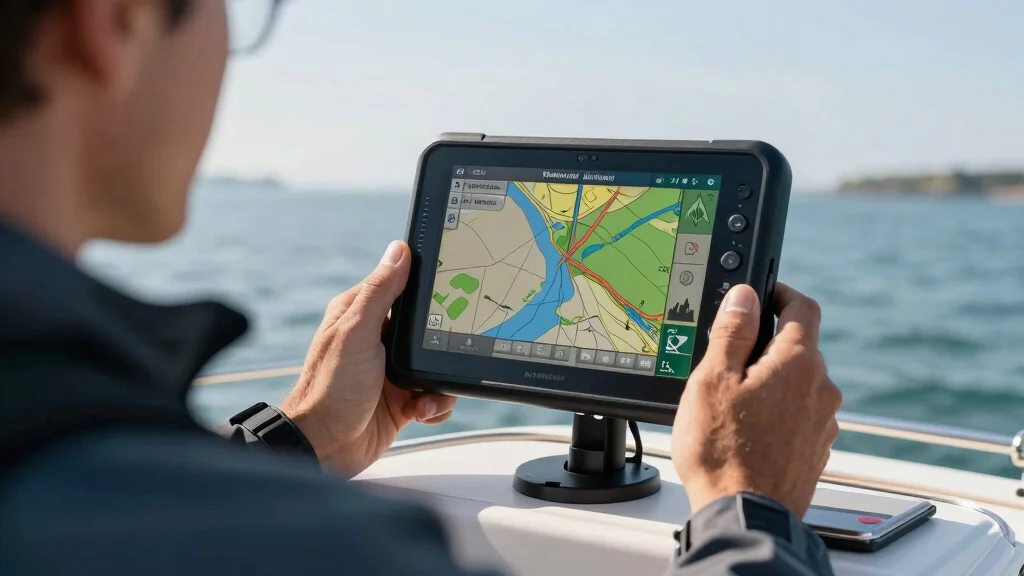
A chartplotter becomes more valuable when it can share information with other systems. Radar overlay can help relate returns to charted features, while AIS can display information from properly equipped vessels. Depth sounder integration is useful in poorly marked areas and for monitoring changes as you approach a harbor, although transducer placement and local bottom conditions affect the quality of the readings. Compatibility with an autopilot, heading sensor, engine data, and an onboard network can reduce duplicated displays at the helm.
Look for practical safety details as well. A reliable GPS position, a clearly visible man-overboard waypoint function, and a simple way to mark hazards matter more than an overloaded menu system. A dedicated handheld backup remains sensible even when the primary display is networked. A Nautilus LifeLine device can provide an additional personal-safety option for crew, but it complements rather than replaces a chartplotter, VHF radio, navigation lights, and a properly prepared float plan.
Best Marine GPS Chartplotters in 2026 - Top 6 Picks for Precision Navigation (Garmin, Simrad & More)
Chart Coverage, Updates, and Compatibility
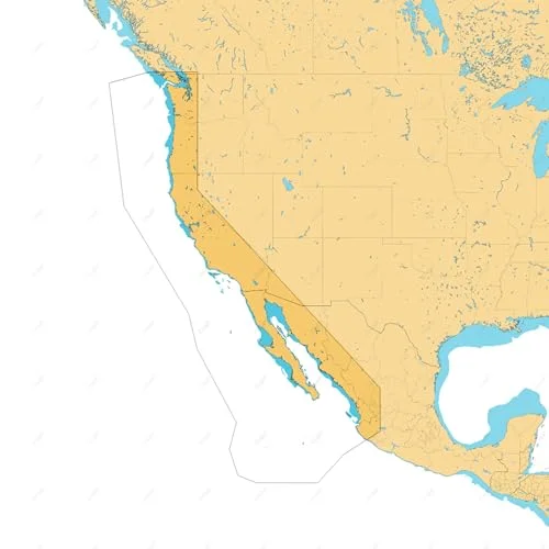
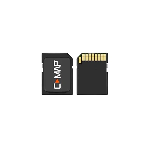
Chart quality is at least as important as the display hardware. Before buying, confirm that the included chart region covers your normal cruising area and that the unit supports the chart format you intend to use. Many systems are designed around a particular chart ecosystem, such as Navionics or C-MAP, while others may support additional regional products through a memory card. Check the exact coverage boundaries rather than assuming a package labeled for a country includes every inlet, island, or offshore area you visit.
Also compare how updates work. Some chart packages include a limited update period, while others require a subscription or separate purchase. An update can add survey information, marina data, hazards, and corrections, but it does not guarantee that every local change has been captured. Keep official notices, paper references where appropriate, and local knowledge in your navigation routine. Confirm whether updates require Wi-Fi, a computer, a mobile app, or a removable card, especially if the boat is kept away from reliable internet access.
Compatibility extends beyond charts. Verify the unit's networking standard, transducer connection, radar support, power requirements, and mounting options before ordering. Two devices may appear similar but use different connectors or proprietary network hardware. If you already own a radar, sonar module, VHF, or autopilot, checking the manufacturer's compatibility list can prevent an expensive upgrade path. Humminbird, for example, offers a connected electronics ecosystem, but the precise capabilities depend on the model, accessories, and network components selected.
Installation Options for Different Boat Sizes
Flush mounting creates a clean helm and protects the display from snagging, but it requires accurate cutting and access behind the panel. Bracket mounting is easier to install and makes it possible to angle or remove the unit, which can be useful on open boats that spend time in storage. A portable or compact display may suit a small fishing boat, tender, or temporary navigation station, provided its power connection and mounting point are secure.
Recommended products
Use these catalog picks as a shortlist for best marine gps chartplotters for coastal cruising. Compare measurements, materials, and return terms side by side instead of buying from a photo alone.

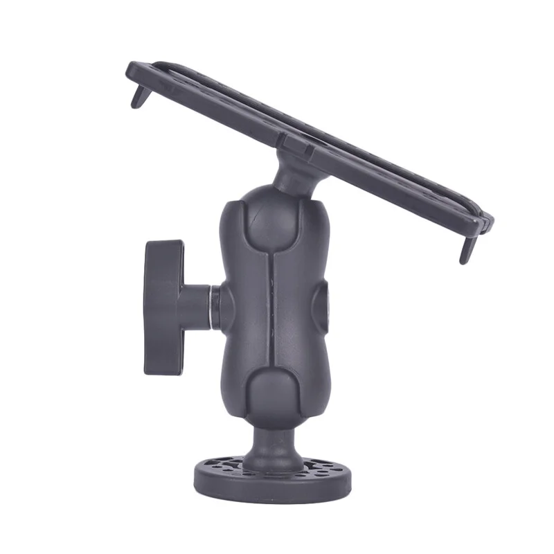

Plan the installation around visibility, cable routing, service access, and water protection. Keep the screen within the operator's normal line of sight without blocking engine instruments or the view forward. Use marine-grade connections, appropriate circuit protection, and sealed cable entries. A Scanstrut mounting or cable-management solution may help create a neater installation, but verify dimensions and load ratings for the specific display and mounting position. Avoid placing electronics where spray, heat, or direct impact is likely to shorten their service life.
Power consumption also matters. A large, bright display and connected radar can draw considerably more energy than a small chartplotter, especially on a boat with limited battery capacity. Check the manufacturer's current draw at typical and maximum brightness, then consider the rest of the onboard electrical load. A display with an efficient dimming system and an adjustable LED backlight can be easier to manage overnight, but brightness should remain high enough to preserve readability without creating unnecessary glare.
How to Choose the Right Chartplotter
Begin by listing the waters you navigate, the boat's helm space, and the systems you already own. For a small coastal boat, prioritize a readable seven- or nine-inch screen, dependable position data, simple chart updates, and a mounting arrangement that can be protected when the boat is unattended. For a larger cruiser, a bigger display, radar compatibility, AIS support, depth integration, and network expansion may justify the additional cost and installation effort.
When comparing the three catalog picks later in this guide, assess them by pros and cons rather than by headline specifications alone. One may offer the strongest chart and sonar integration, another may provide the easiest installation in a compact helm, and a third may have the best display area for split-screen navigation. Compare total system cost, including charts, transducers, mounts, network cables, and update fees. A lower-priced display can become less economical if it requires replacing equipment you already own or buying essential functions as add-ons.
Finally, consider who will operate the boat. A chartplotter with a logical interface, clear alarms, and straightforward waypoint controls is often safer than a more powerful unit that takes too long to configure. Practice creating and reversing routes, setting a man-overboard point, changing chart layers, and finding the system's GPS status before leaving the dock. Keep the display useful rather than cluttered, cross-check its information with visual observation and other instruments, and treat the marine GPS as one part of a complete coastal-navigation plan.