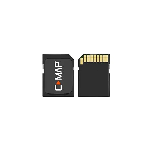
C-MAP Reveal - US Lakes West, Map Card for Marine GPS chartplotters
USD $179.00
- Condition:
- NEW
- Shipping:
- Free Shipping
- SKU:
- M-NA-Y211-MS
- Categories:
- Marine GPS Units & Chartplotters


Price alert
Notify me when the price drops
Description
Shaded relief: bring the world around you to life, with 3d rendered land and underwater elevation – including areas of ultra-high-res bathymetric imagery – a game-changer for anglers and divers. full-featured vector charts: making navigation easy by giving you accurate, up-to-date vector chart detail derived from official hydrographic office information. high-res bathy: helps you identify shallow areas, drop-offs, ledges, holes or humps. now includes compiled and quality-controlled genesis detail as part of singular hrb layer. custom depth shading: set a clear safety depth, maintain a paper-like view or create your own custom shading. easy routing: helps you automatically plot the shortest, safest route based on detailed chart data and your personalized vessel information. no subscription required. weight: 0.06393405598
Market history
Price Tracking
Related picks