Marine GPS Tips for Boaters Attending Washington Events
Waterfront concerts, harbor festivals, fishing tournaments, and community gatherings can make Washington’s waterways especially busy. A reliable marine GPS helps you plan around unfamiliar marinas, shallow areas, bridges, ferry routes, and temporary congestion without relying entirely on a phone signal. Whether you are traveling to an event by powerboat, sailboat, or personal watercraft, treat navigation as part of the outing rather than an afterthought. A good marine GPS should support the trip from departure through the return home, including route planning, position awareness, and quick decisions when visibility or traffic changes. Planning a night out around A I? Keep comfort in mind.
Why Marine GPS Matters for Washington Events on the Water
Event traffic can change the character of a familiar route. Temporary moorage restrictions, anchored boats, water taxis, kayaks, and spectators near shore may all require more attention than a normal weekend cruise. Before leaving, check the event schedule, harbor notices, marina instructions, weather, and tide information. If you are attending Washington events, allow extra time for docking and identify a backup destination in case the primary marina is full. A marine GPS with dependable charts can help you compare routes, mark a rendezvous point, and monitor your progress while keeping your attention on the water. It should complement, not replace, visual piloting, paper references, depth awareness, and local regulations.
Features to Look for in a Marine GPS
Start with chart coverage that matches where you actually boat. Washington includes protected inland waters, rivers, bays, and coastal areas, so verify that the unit supports the regions on your itinerary and that chart updates are available. A readable display is important when sunlight, spray, or nighttime glare makes small details difficult to see. Look for adjustable brightness, clear depth shading, waypoint symbols, and a layout you can understand quickly.
Useful features may include route planning, track recording, waypoint storage, tide and current information, AIS compatibility, radar integration, and depth sounder support. Connectivity can also matter. Some units share data with a phone, tablet, VHF radio, or onboard network, while others are deliberately self-contained. Consider how you will use the device under pressure: menus should be intuitive, physical controls should be easy to operate with wet hands, and the GPS should continue providing core position information if another device loses power or signal.
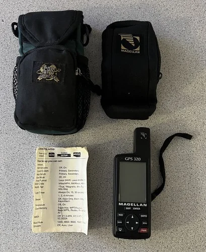
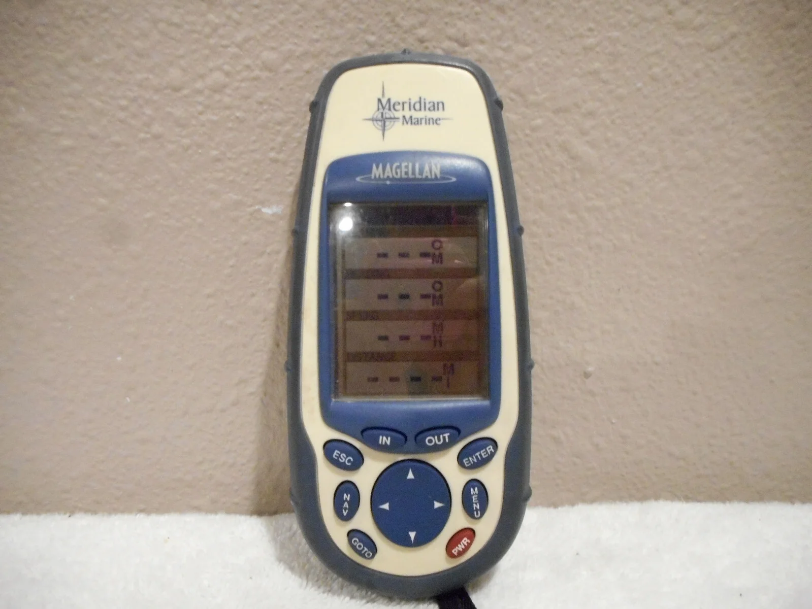
When comparing equipment, read specifications carefully rather than assuming a familiar label tells the whole story. Terms such as COVER, Universal, and Used may appear in listings or compatibility descriptions, but they do not necessarily describe the same capability. Confirm the exact model, chart region, mounting hardware, software status, screen condition, and included cables. Brand reputation can help narrow the field, but the best choice is the model that fits your boat, route, and operating habits. Furuno is often considered by boaters seeking integrated navigation equipment, while Digital Yacht and Tram may be relevant when comparing connected marine electronics or communication accessories. Always verify current specifications before buying.
Portable Versus Fixed-Mount Marine GPS Options
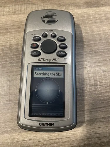
A portable marine GPS is convenient for small boats, rentals, tenders, and owners who use more than one vessel. You can move it between boats, keep it charged indoors, and use it as a backup to a fixed chartplotter. Its limitations may include a smaller screen, shorter battery life, less resistance to constant spray, and fewer connections to onboard sensors. If you choose portable equipment, buy a secure waterproof case or cradle and test the mounting position before an event day. The display should remain visible without blocking your view of traffic or controls.
A fixed-mount unit generally offers a larger display, dependable external power, and a cleaner connection to a depth transducer, AIS receiver, radar, or boat network. It can be a better fit for a larger vessel or a boat that regularly travels through complex or crowded waters. Installation deserves careful planning: select a location protected from direct spray, confirm the viewing angle from the helm, route cables away from moving parts, and use the manufacturer’s fuse and wiring recommendations. Even with a fixed unit, keep a charged phone, backup battery, or handheld navigation device available for emergencies.
How to Prepare Your Marine GPS Before an Event
How to Use Boat GPS | Basics of Boating
Preparation is more valuable than experimenting with settings while approaching a crowded harbor. Update charts and firmware several days before departure, then restart the unit and confirm that the updates installed correctly. Enter the launch point, destination, fuel stops, marina entrance, and at least one alternate harbor as waypoints. Review each route at a useful scale instead of accepting an automatically generated line without checking depth, restricted zones, bridges, traffic separation areas, and known hazards.
Create a simple event-day checklist. Charge portable equipment, inspect the power cable, clean the screen, check the mounting bracket, and confirm that external antennas or transducers are secure. Save the marina’s phone number and moorage instructions separately in case the GPS cannot display them. Share your intended route and estimated return time with someone ashore. If friends are meeting you on the water, agree on a waypoint and communication channel in advance rather than trying to coordinate at the busiest part of the trip.
Marine GPS Safety and Navigation Tips
Use the GPS as one source of information. Compare its position and chart presentation with buoys, shoreline features, depth readings, compass direction, and current conditions. Charts can contain errors, surveys can be outdated, and a route line does not guarantee safe water at your boat’s draft. Slow down when visibility drops, traffic increases, or the route enters unfamiliar territory. Keep a proper lookout, follow navigation rules, and avoid staring at the display for extended periods while underway.
Waypoint discipline also improves safety. Mark hazards, narrow passages, preferred turning points, and safe waiting areas, but avoid filling the screen with unnecessary symbols. Use track history to review the trip afterward and identify places where your route or timing could improve. If the GPS fails, switch promptly to your backup plan rather than repeatedly troubleshooting while distracted. A waterproof paper chart, compass, flashlight, spare batteries, and a working VHF radio remain sensible companions, particularly when an event keeps you on the water after sunset.
A Better Event-Day Routine
The most useful marine GPS is the one you understand before the boat leaves the dock. Practice creating and deleting waypoints, adjusting chart scale, following a route, and reading depth or navigation alerts in calm conditions. On event day, check the forecast and local notices again, leave earlier than usual, and make a deliberate decision about whether conditions still support the outing. With updated charts, a tested setup, sensible backups, and disciplined attention to the surroundings, you can enjoy Washington’s waterfront activities while keeping navigation organized and safety-focused.