Marine GPS Buying Guide: Chartplotters, Maps, and Navigation Features
Choosing a marine GPS is less about finding the biggest screen and more about matching the navigation system to your boat, waters, and style of use. A compact unit for a small fishing boat has very different requirements from a networked helm on a cruising yacht. Before comparing models, consider where you operate, whether you need only position and route guidance or a complete chartplotter, and which electronics you may add later. Screen visibility, chart availability, mounting space, power consumption, and ease of updating can matter just as much as satellite accuracy.
How Marine GPS Chartplotters Work
A marine GPS receives signals from positioning satellites and calculates your boat’s location, speed, and course. A chartplotter places that position on a digital nautical chart, allowing you to create waypoints, plan routes, monitor a track, and view hazards or depth information shown in the chart data. The GPS position itself is not a substitute for seamanship: signal quality, chart accuracy, tide conditions, buoy changes, and local notices all affect safe navigation.
Most modern units combine the GPS receiver, chart display, and navigation software in one housing. Standalone GPS displays are useful when you already have separate fishfinders or instruments, while multifunction displays can combine charting with sonar, radar, AIS, engine data, and cameras. A dedicated chartplotter may be simpler and more affordable, but a multifunction display can reduce helm clutter and provide a better foundation for future upgrades.
Choosing the right screen
Screen size should be judged from the normal viewing distance rather than by specification alone. A 7-inch display may suit a center console where the helm is close, while a 10-inch display is easier to read when the operator stands farther away or needs split-screen views. Larger screens generally improve chart readability and touch controls, but they cost more, occupy more dash space, and draw more power. Physical buttons or a rotary controller can be valuable in rough conditions, even on a primarily touchscreen unit.
Essential Navigation Features
At a minimum, look for clear position, course-over-ground, speed-over-ground, waypoint, route, and track functions. A reliable man-overboard mode should mark the emergency location quickly and provide an understandable return bearing. Automatic route guidance can be convenient, but it should be treated as an aid rather than an authority because software may not account for every shoal, bridge restriction, draft limitation, or temporary obstruction.
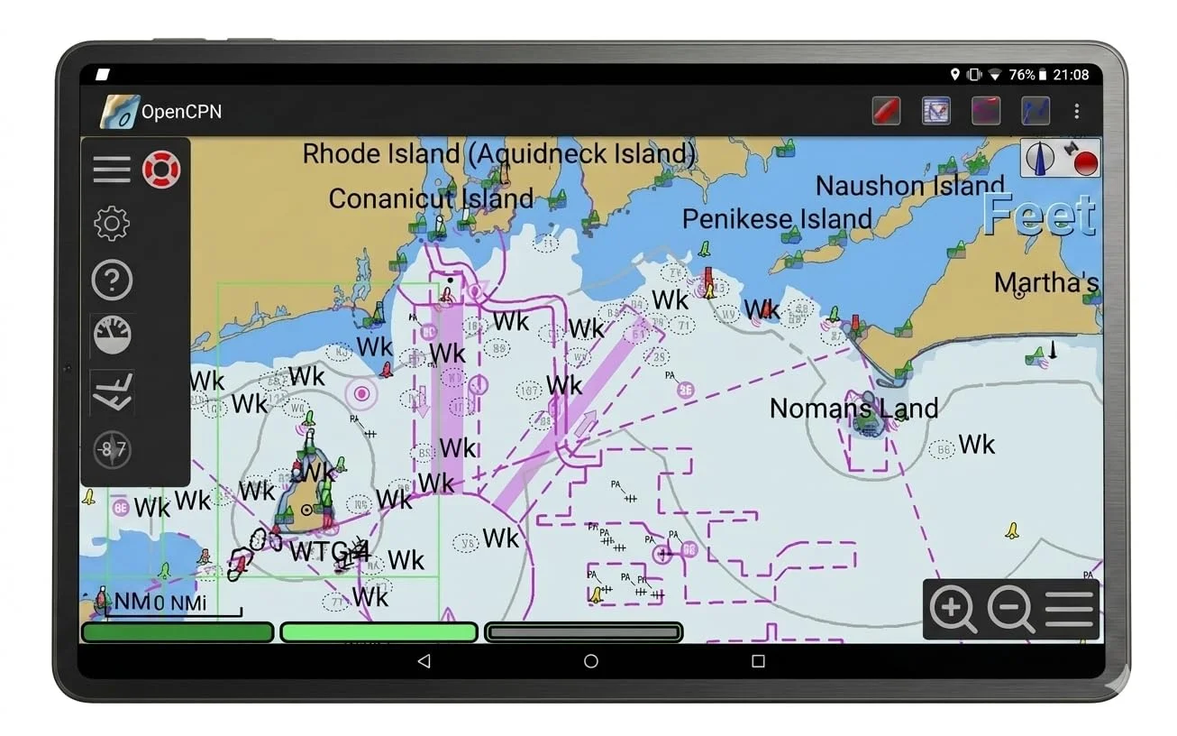
Look for a readable compass or heading presentation, adjustable chart orientation, configurable data overlays, and a straightforward way to switch between north-up, course-up, and heading-up views. Tide and current information can be particularly useful in unfamiliar waters, provided the chart service includes suitable local data. A good interface should let you zoom, pan, drop a waypoint, and begin navigating without searching through several menus.
Waterproof construction is essential because even a protected helm can experience spray, rain, condensation, and wet hands. Check the manufacturer’s stated ingress rating rather than relying on the word Waterproof alone, and confirm whether the unit is intended for exposed mounting. Anti-glare treatment, a high-brightness backlight, and a wide viewing angle are equally important because a screen that looks excellent in a showroom may be difficult to read in direct sunlight.
Understanding Marine Charts and Coverage
Chart coverage is one of the most important differences between marine GPS systems. Digital charts may be based on official hydrographic surveys, private data, or a combination of sources. They can show depth contours, aids to navigation, marina details, wrecks, restricted areas, anchorages, and hazards, but the level of detail varies by region. Confirm coverage for your actual cruising area before purchase, especially if you cross borders or regularly visit smaller harbors.
Navionics is a widely recognized chart option, but compatibility, included regions, and subscription terms differ between devices and packages. Some displays include a basic chart, while others require a separate chart card or an annual update plan. Check whether updates cover only software or also new chart data, and find out how updates are installed. A chart that is easy to update at home is more practical than one that requires sending the device away or visiting a dealer.
Never assume that a chart replaces official navigation information. Paper charts or independently sourced backup data may still be sensible for extended cruising, and local notices can identify changes that have not yet appeared in a digital update. Pay close attention to chart scale: zooming in on a low-detail chart can make an area look precise without adding genuinely accurate information.
GPS, Sonar, Radar, and AIS Integration
Integration becomes more valuable as the boat’s electronics grow. A GPS can provide position to a fishfinder, autopilot, VHF radio, or radar, while a multifunction display can show these sources together. Before buying, check the communications standards and ports supported by the unit, such as NMEA 0183, NMEA 2000, Ethernet, Wi-Fi, or Bluetooth. Two devices may both advertise networking but still require adapters or a compatible gateway to exchange useful data.
Sonar adds a view below the boat and can help with depth awareness or finding fish, but transducer compatibility is critical. A chartplotter may support traditional sonar, CHIRP, side imaging, or down imaging only through particular modules or transducers. Radar is useful for detecting land, vessels, and weather returns in poor visibility, but it adds installation complexity and should not be purchased solely because the display has a radar-ready label.
Recommended products
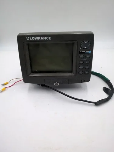
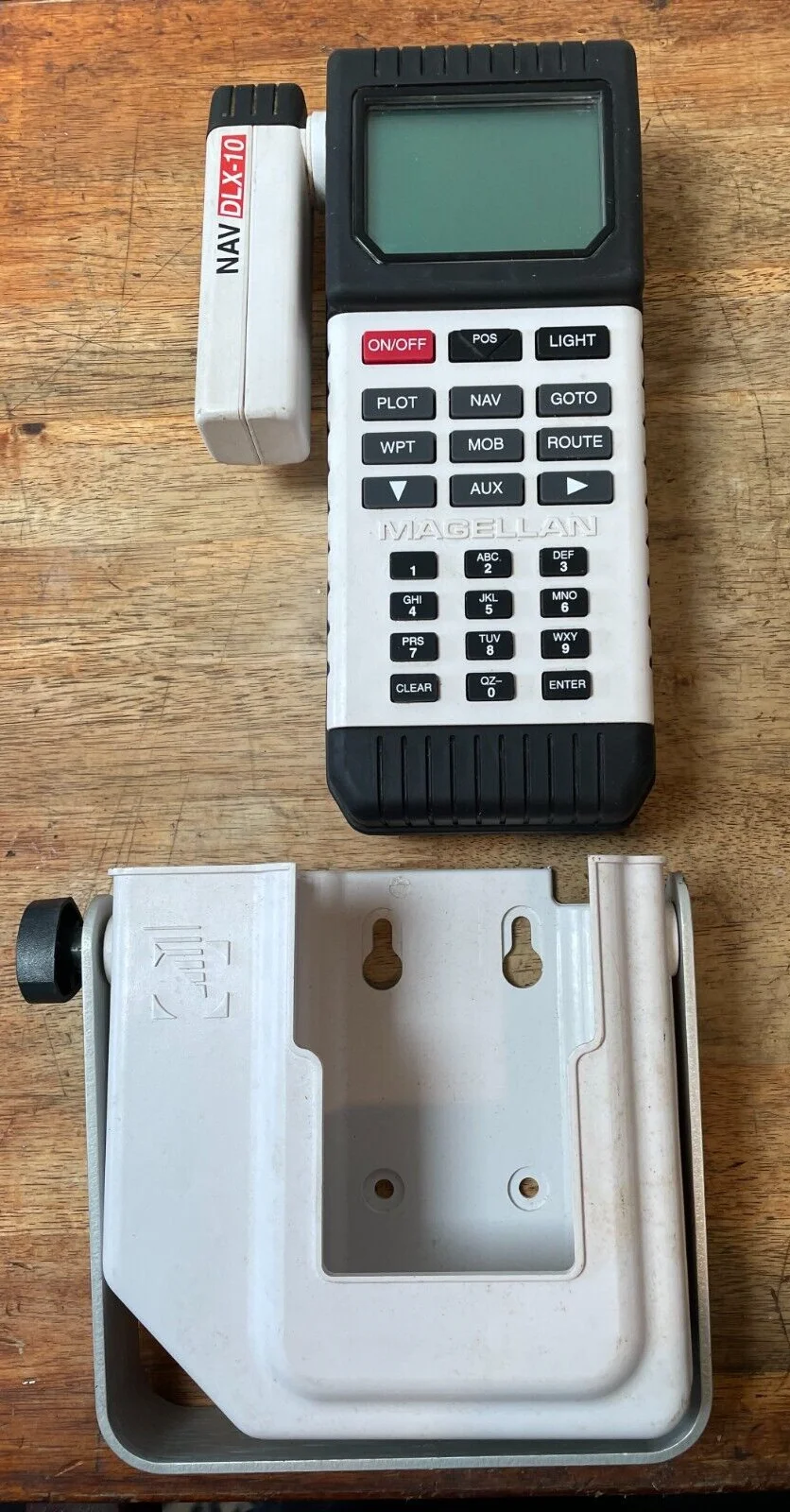
Use these catalog picks as a shortlist for marine gps buying guide: chartplotters, maps, and navigation features. Compare measurements, materials, and return terms side by side instead of buying from a photo alone.

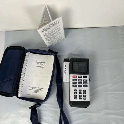
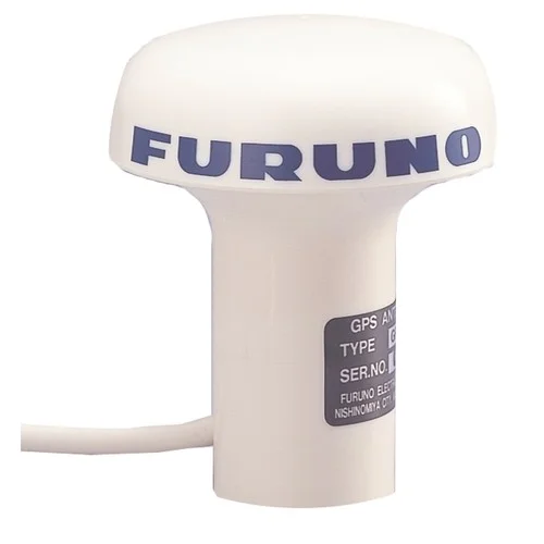
AIS can show information transmitted by equipped commercial and recreational vessels, including identity, course, and speed. Receive-only AIS is less expensive and still improves situational awareness, while a transceiver also broadcasts your vessel information and may require additional configuration. AIS is not universal: small craft, unpowered objects, and vessels with malfunctioning or switched-off equipment may not appear.
Brands such as Simrad offer systems designed around networked helm equipment, while Matsutec is often considered by buyers looking for specific combinations of charting, sonar, radar, or AIS functions. Compare the complete system, not just the display, because transducers, antennas, chart cards, network cables, mounts, and software can change the final cost substantially.
Installation and Power Requirements
Measure the mounting area before choosing a display, including the space needed for connectors, ventilation, cable bends, and service access. Flush mounting creates a tidy appearance but makes later replacement more difficult. Bracket mounting is usually easier to install and angle toward the operator. Use appropriately sized marine-grade wiring, protect connections from moisture, and follow the manufacturer’s fuse and grounding instructions rather than connecting the unit to an existing circuit without checking its capacity.
Review the unit’s voltage range and maximum current draw, especially if the boat has a small battery bank or an outboard charging system. Brightness settings, sonar, radar, Wi-Fi, and external accessories can increase consumption. A practical installation should include a clean shutdown procedure and enough battery reserve to operate navigation equipment while leaving capacity for starting the engine and running essential communications.
Marine GPS Features Worth Paying For
Spend extra on features that solve a real problem at your helm. A brighter screen, better controls, faster redraw, dependable chart updates, and a strong network ecosystem are often more useful than decorative graphics. Radar and AIS integration are worthwhile for boats that travel offshore, at night, or in busy waterways, while advanced sonar may be a better investment for anglers. An autopilot interface can reduce workload on longer passages, but it must be installed and configured correctly.
When comparing the 4 catalog picks later in the guide, weigh each model’s pros and cons against your boat rather than treating the most expensive option as automatically best. Compare screen size, chart region, included accessories, networking, power draw, control method, and upgrade costs. A smaller unit with excellent charts and simple operation may be the better choice for a day boat, while a larger network-capable display may justify its price on a cruiser that will add radar, AIS, or an autopilot.
The best marine GPS is the one you can read quickly, trust within the limits of its data, and operate without distraction. Prioritize accurate coverage for your waters, clear daylight visibility, waterproof durability, and compatibility with the equipment you already own. Then consider expansion features and convenience upgrades. A well-matched system supports good decisions on the water; it does not replace a lookout, current information, sound judgment, or a backup navigation plan.
FAQ: Marine GPS Buying Guide: Chartplotters, Maps, and Navigation Features
What should I look for when buying a marine GPS chartplotter?+
Choose a chartplotter with a screen size and brightness suited to your helm, clear controls, and charts that cover your usual waterways. Useful features include route planning, waypoint storage, depth data, tide information, and compatibility with sonar, radar, or AIS if you plan to expand your system.
Do marine GPS units come with charts, or do I need to buy them separately?+
Some marine GPS units include basic built-in charts, while others require a chart card or separate chart subscription. Check that the available coverage includes your coastal areas, lakes, rivers, or offshore destinations, and review update costs before buying.
Is a touchscreen or button-controlled marine GPS better?+
Touchscreens are quick to operate and make chart panning and route planning convenient, but physical buttons or a rotary controller can be easier to use in rain, spray, or rough conditions. Many boaters prefer a combination of touchscreen controls and dedicated buttons for critical navigation tasks.
Can a marine GPS connect to sonar, radar, and AIS?+
Many modern chartplotters can integrate with compatible sonar modules, fishfinders, radar, and AIS receivers through marine networking systems. Confirm connector types, network compatibility, and whether the display can show the data layers you need before purchasing additional equipment.
What power and installation requirements should I check for a marine GPS?+
Verify that the unit matches your boat’s electrical system, commonly 12 or 24 volts, and check its current draw, fuse requirements, mounting space, and cable-routing options. Install the GPS where it remains visible from the helm and where the antenna has a clear view of the sky, or confirm that an external antenna is supported.