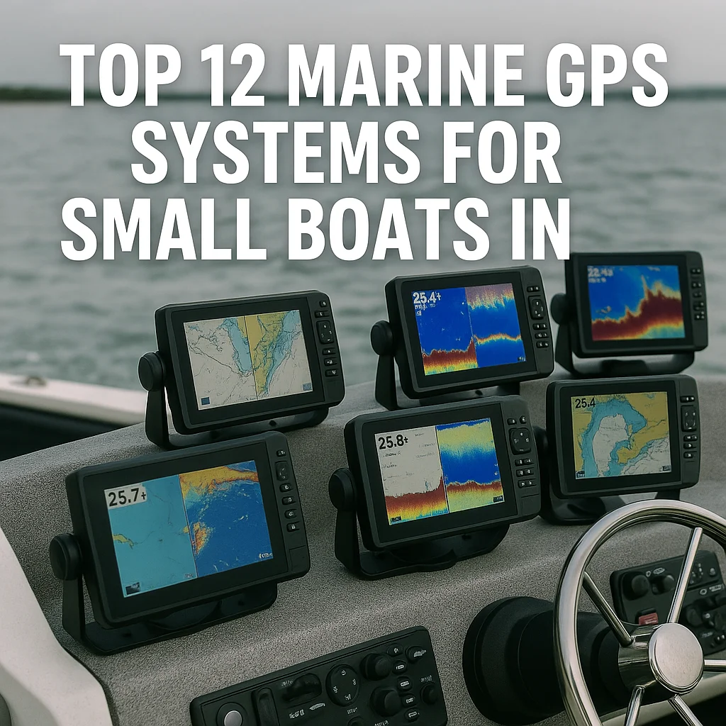
Choosing the best marine GPS systems for sailboats is less about finding the largest screen and more about matching navigation capability to the way you sail. A coastal day sailor may need clear charts, reliable position data, and simple waypoint navigation, while an offshore cruiser may depend on route planning, AIS targets, radar overlays, weather information, and dependable operation in poor visibility. The right marine GPS should also fit your cockpit, support your existing instruments, and remain easy to read when the boat is moving and the sun is bright.
Sailing-Specific GPS Features to Consider
A sailing GPS should do more than show a moving position icon on a chart. Look for straightforward waypoint creation, route editing, distance and bearing calculations, cross-track error, and the ability to display a bearing line that remains useful when tacking or gybing. Sailboat-oriented systems may also offer laylines, wind-angle data, tide information, and pages designed for start lines or race navigation. These features are valuable because sailing rarely involves following one fixed heading for long periods.
Position accuracy depends on satellite reception, antenna placement, chart settings, and the quality of the receiver. An external antenna can be worthwhile on boats with a metal coachroof, substantial rigging, or a GPS display mounted below deck. If the unit uses a separate antenna, check cable length and connector requirements before buying. A backup navigation device, such as a phone or tablet with offline charts, is sensible, but it should supplement rather than replace a dedicated marine GPS on longer passages.
Waterproof construction is essential, but the term alone does not tell you everything. Check the stated ingress-protection rating, the quality of the buttons or touchscreen controls, and whether the manufacturer specifies resistance to salt spray and vibration. A unit that is technically Waterproof may still be awkward to operate with wet hands or gloves. Physical keys are often preferable in a pitching cockpit, while touchscreens can provide faster chart movement and cleaner displays in a protected helm position.
Best Display Types and Mounting Locations
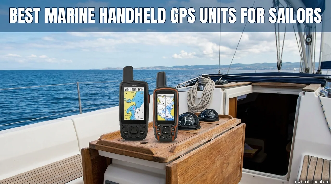
Screen size should be judged against viewing distance and available mounting space. A compact display can work well at a tiller-mounted or pedestal position, where the helmsman is close to the screen. Larger displays are easier to interpret from several feet away, but they consume more electrical power and may obstruct sightlines, companionway access, or a folding sprayhood. Measure the available panel carefully, including space for cables and a mounting bracket, before choosing a screen based only on diagonal size.
Color LCD displays remain the standard choice for chartplotters because they show depth shading, hazards, AIS targets, radar returns, and route lines clearly. High-brightness screens are important for exposed cockpits, especially when the display is viewed through polarized sunglasses. Optical bonding can reduce reflections and improve contrast. If you sail at night, check whether the system has a genuinely dim night mode rather than simply lowering brightness, since excessive glare can interfere with watchkeeping.
Mounting location affects both usability and reliability. A pedestal-mounted unit is easy to consult while steering, but it is exposed to spray and may be vulnerable to accidental impact. A bulkhead-mounted display is better protected and can suit a navigation station, although it may be too far away for the person on watch. Some sailors use a smaller cockpit display linked to a larger below-deck multifunction display. This arrangement can provide helm access without placing all equipment in the harshest environment.
Wind, AIS, Radar, and Autopilot Integration
Integration is one of the biggest differences between a basic marine GPS and a modern multifunction navigation system. Before purchasing, identify the networks already installed on the boat. NMEA 0183 remains common on older equipment, while NMEA 2000 is widely used for newer instruments. Ethernet or proprietary network connections may be required for radar, sonar, or high-bandwidth chart sharing. A system that appears inexpensive can become costly if it needs adapters, gateways, or a new backbone installation.
Wind integration allows the GPS to show apparent or true wind information alongside course, speed, and route data. This can make laylines and steering targets more useful, but the accuracy depends on correctly calibrated instruments. Autopilot integration can display heading and navigation data and may allow the GPS to send a route to the pilot. The autopilot should not be treated as a substitute for watchkeeping; a route error, chart issue, or unexpected obstruction still requires a person to intervene.
AIS is particularly useful in busy shipping areas because it can show transmitting vessels, their course, speed, and closest-point-of-approach information on the chart. Remember that not every vessel transmits AIS, and displayed data can be delayed or inaccurate. Radar integration provides another layer of awareness, especially in fog, darkness, or heavy rain. Radar overlays are most helpful when the GPS and radar share a properly calibrated heading source, since an incorrect heading can make the overlay misleading.
Chart Accuracy and Route Planning
Best Marine GPS Chartplotters in 2026 - Top 6 Picks for Precision Navigation (Garmin, Simrad & More)
Chart coverage should be evaluated for the waters you actually sail, not just the country or region listed on the box. Confirm that the chart includes your home harbor, tidal approaches, offshore islands, and likely diversion ports. Official electronic charts, private chart databases, and raster charts can differ in update schedules, detail, and presentation. Navionics is one widely recognized chart ecosystem, but compatibility varies by GPS manufacturer and model, so verify the exact chart format before purchase.
A good marine GPS makes route planning practical rather than merely possible. Useful tools include automatic route guidance, depth-contour warnings, safety-contour settings, tide and current information, waypoint comments, and easy transfer between the planning app and the onboard unit. Automatic routing should be treated as a starting point. It cannot reliably understand every local sailing restriction, unmarked fishing operation, temporary closure, bridge opening, or draft limitation unless the sailor checks the result against current official information.
Chart updates matter as much as initial chart quality. Find out whether updates are included for a set period, purchased individually, or supplied through a subscription. Check how updates are installed and whether the unit requires a memory card, Wi-Fi connection, or computer. Some sailors prefer a chartplotter that accepts multiple chart suppliers, while others value the convenience of one integrated ecosystem. The best choice is the one you can keep current and confidently interpret.
Selecting a Marine GPS for Day Sailing or Offshore Trips
For day sailing, prioritize quick startup, clear chart presentation, simple waypoint handling, and a mounting position that the helmsman can see. A compact unit with a bright screen may be more useful than a feature-heavy display that is difficult to operate. Consider power consumption if the boat has a small battery bank. A straightforward GPS with reliable depth and speed connections can be entirely adequate for harbor sailing, coastal passages, and familiar cruising grounds.
Offshore sailors should place more emphasis on redundancy, chart availability, network compatibility, and operation during a power or communications problem. Useful capabilities include an external antenna option, route export and backup, AIS support, configurable alarms, and integration with the autopilot and wind instruments. Keep paper or independent electronic backup information available, and make sure more than one crew member understands the basic navigation workflow. A sophisticated system is only helpful if it can be used quickly under stress.
Brand and equipment compatibility deserve careful attention. Matsutec products may appeal to sailors looking for integrated navigation or AIS-oriented equipment, while an OEM display can be a practical replacement when matching an existing instrument network. However, brand names alone do not guarantee interoperability. Check supported protocols, connector types, software versions, chart licensing, and whether the manufacturer still provides updates and technical documentation for the exact model.
Finally, compare the total installation rather than the headline price. A display may need a transducer, antenna, charts, mounting hardware, network cables, circuit protection, and professional installation. Even a compact unit with a 1-inch mounting allowance or a larger display in the 700-class price range can become a different investment once accessories are included. Choose the system that delivers the navigation information you will actually use, remains readable from the helm, and can be maintained throughout the boat’s working life.
FAQ: Best Marine GPS Systems for Sailboats
What features should I look for in a marine GPS for a sailboat?+
Look for clear chart presentation, reliable route planning, waypoint management, and a display that remains readable in bright sunlight. Sailing-specific features such as tide and current information, wind data, AIS support, and compatibility with autopilots can be especially useful.
Is a chartplotter or handheld marine GPS better for sailing?+
A fixed-mount chartplotter is usually better for cockpit visibility, larger charts, and integration with instruments, radar, AIS, and autopilots. A handheld marine GPS is more portable and useful as a backup, for dinghy trips, or on smaller day-sailing boats.
Where should I mount a marine GPS on a sailboat?+
Mount the display where the helmsman can read it without leaving the helm, while avoiding glare and interference with other instruments. Cockpit bulkheads, pedestal mounts, and protected companionway areas are common choices; verify the unit’s water resistance for the location.
Can a marine GPS connect to wind instruments, AIS, radar, and an autopilot?+
Many modern marine GPS systems can share data with onboard electronics through networks such as NMEA 0183 or NMEA 2000, but compatibility varies by model. Check the available ports, network requirements, and supported data before buying, especially if you plan to add radar or an autopilot later.
What kind of marine GPS is best for offshore sailing?+
Offshore sailors generally benefit from a rugged, weather-resistant chartplotter with detailed charts, dependable route planning, a readable screen, and support for AIS and other navigation instruments. Consider a backup GPS, paper charts, and independent power options because no single electronic system should be your only navigation method.