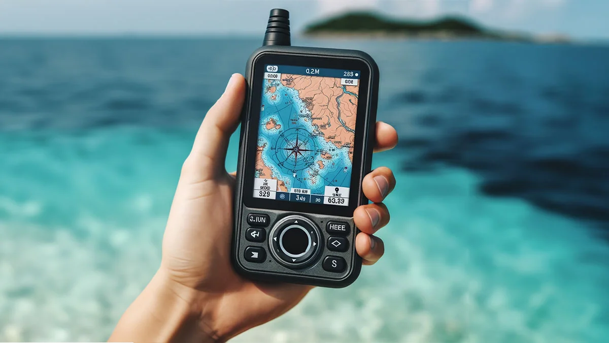
Best Handheld Marine GPS Units for Boating and Kayaking
A handheld marine GPS can be a valuable navigation backup on a boat, kayak, or small personal watercraft. Unlike a phone, a dedicated marine GPS is designed for use around water, typically offers better glove-friendly controls, and does not depend on a mobile signal to show your position. The right model should make it easy to confirm where you are, follow a route, return to a launch point, and monitor your progress without becoming a distraction.
There is no single best unit for every trip. A kayaker may prioritize a compact body, simple waypoint marking, and a screen that remains readable in bright sunlight. A boat operator may need detailed coastal charts, depth information, a larger display, and enough battery capacity for a full day offshore. Compare the navigation software, map coverage, physical design, and operating costs together rather than choosing based on screen size alone.
Why Choose a Handheld Marine GPS
Phones are useful for planning, weather checks, and sharing a location, but they are not always ideal as a primary marine navigator. Cellular coverage can disappear quickly away from shore, wet screens may respond poorly to touch, and GPS-heavy apps can drain a phone battery that you may need for emergency communication. A handheld marine GPS keeps navigation separate from those other functions.
Dedicated units are also easier to secure with a lanyard or mounting system. That matters in a kayak, where a loose device can slide into the water during a paddle stroke, and on an open boat where spray and vibration are constant. A GPS will not replace a paper chart, compass, safety equipment, or sensible route planning, but it can provide a clear digital position reference when conditions change.
Waterproofing, Battery Life, and Durability
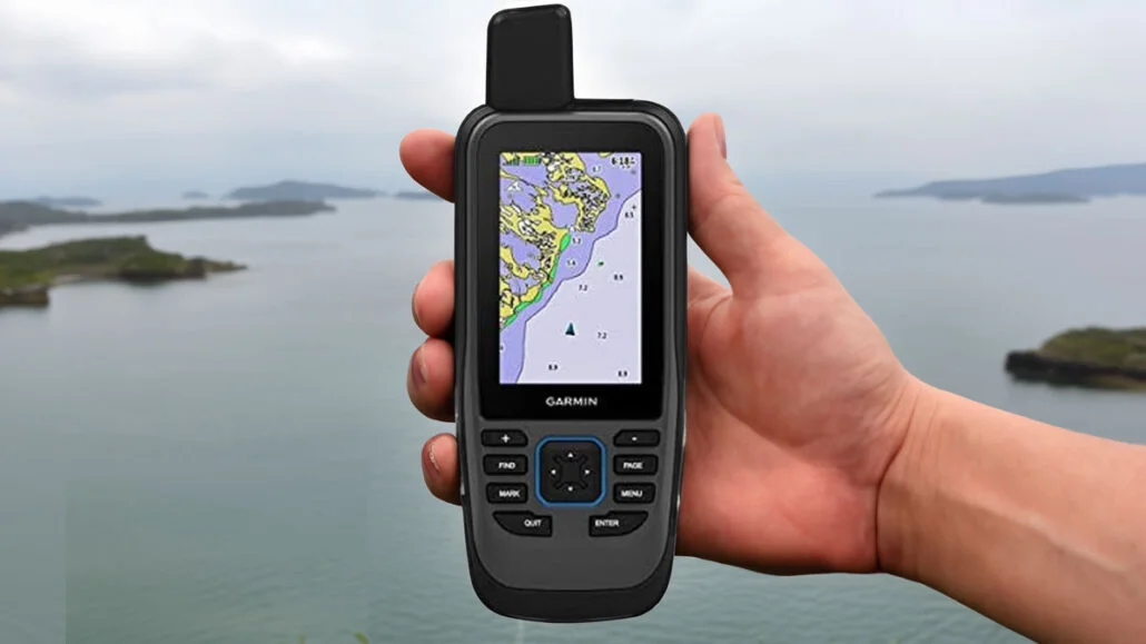
Look for a marine GPS with a clearly stated water-resistance rating, preferably one intended to withstand immersion rather than only light splashes. Check the manufacturer’s wording carefully because ratings can differ in depth, duration, and whether the battery cover or external ports are properly closed. A floating design is especially useful for kayak fishing and small boats, although a wrist strap or tether is still important.
Battery life should be judged under realistic conditions with the screen, backlight, satellite reception, and chart functions active. Rechargeable batteries are convenient for regular use, while replaceable AA batteries can be reassuring on longer trips because you can carry a spare set. Confirm whether the unit charges through a standard cable and whether navigation remains available while connected to a power bank.
A durable case, raised buttons, and a screen that can be read through spray are often more useful than a thin design. Physical controls are worth considering if you navigate while wearing gloves or when rain makes a touchscreen unreliable. Keep the GPS tethered, rinse it with fresh water after saltwater use, and inspect seals periodically for grit or damage.
Top Navigation Features to Compare
Every modern handheld GPS should provide a reliable position, but the quality of the navigation experience depends on the details. A clear track display, waypoint storage, route planning, trip distance, speed, heading, and estimated arrival information can make a noticeable difference. TracBack-style guidance or an equivalent reverse-route function is useful when you need to retrace a route to a launch site.
Satellite support can affect how quickly a unit acquires a position and how consistently it holds that position under trees, near cliffs, or beside tall structures. A digital compass is helpful when stationary, since GPS-derived direction may be less useful when you are not moving. Barometric altitude is more relevant to hiking than boating, so it should not outweigh chart quality and waterproofing when shopping for marine use.
Screen readability deserves an in-person check whenever possible. A larger display can show more chart detail, but it may increase weight and power consumption. High-contrast color mapping, adjustable backlighting, and uncluttered menus are particularly important for users who need quick information rather than a complicated cockpit-style interface. A short Video demonstration can reveal menu speed and screen glare more effectively than a specification table.
Safety features vary by model and region. Some devices can pair with a phone for notifications, while others support messaging or emergency communication through separate services. Treat those capabilities as additions, not substitutes for a marine radio, flotation equipment, a charged phone in a waterproof case, or a float plan. Adults supervising younger paddlers should also choose a simple setup that can be checked quickly without losing awareness of the water.
Marine Charts and Map Updates
TOP 5 Best Marine GPS 2026 | The Best Marine GPS Units Rated by Pros
Built-in basemaps are not the same as detailed marine charts. Before buying, confirm the regions included and check whether the coverage shows shorelines, navigational aids, marinas, depth contours, hazards, channels, and restricted areas. Coverage can be excellent in one coastline and limited in another, so a model recommended for a particular harbor may not be equally useful for inland lakes or international travel.
C-MAP is one chart source shoppers may encounter when comparing marine navigation equipment. Check exactly which chart package is supplied, whether it can be expanded, and how updates are delivered. Some systems include a limited update period or require a subscription, while others use downloadable chart packages. Map-update costs should be included in the total ownership budget, especially if you travel between regions.
Chart data is a planning aid, not a guarantee that every shoal, obstruction, or temporary notice is represented. Compare the GPS chart with official local information, notices to mariners, and conditions on the water. Keep software and chart files current, but do not assume an update removes the need for visual observation and prudent speed.
Choosing a Handheld GPS for Your Boat or Kayak
For kayaking, start with weight, grip, tethering, waterproofing, and battery replacement. A compact unit with straightforward waypoint and track functions may be better than a feature-heavy model that is difficult to operate while paddling. Kayakers should also consider how the screen performs in direct sun and whether the device can be read without taking both hands off the paddle.
For a small boat, chart detail and mounting flexibility may matter more. A unit that can sit securely near the helm, accept external power, and show a route at a useful scale is easier to use than one that must be held continuously. Fishing users may value waypoint organization for reefs, ramps, and productive areas, while cruising users may place greater emphasis on route planning and marina information.
Brand familiarity can help with support and accessory availability, but it should not replace a feature comparison. C-MAP may be central to the chart discussion, while brands such as WirEng® and Cobra should be assessed by the exact model’s mapping, waterproof rating, controls, battery system, and warranty rather than by name alone. Confirm that replacement mounts, cables, cases, and batteries are available before purchasing.
A practical shortlist can be narrowed to 7 questions: Is the chart coverage suitable for your waters? Can you read the display in sunlight? Will it survive immersion? How long does it run with navigation active? Can you replace or recharge the battery easily? Are the controls usable with wet hands? What will map updates and accessories cost over time? Answering those questions usually produces a better choice than selecting the largest screen or the longest feature list.
The best handheld marine GPS is the one you can operate quickly, keep powered, and trust as one part of a broader navigation plan. Match the device to your normal waters and craft, download and verify its charts before leaving shore, and carry an independent backup such as a compass and paper chart. That combination offers useful digital convenience without treating any electronic device as infallible.